NAWCAD and ONR Release ESTIMATE-HC App for Civil and Field Engineering Calculations
Engineers developed an iOS application that runs offline and uses augmented reality to calculate earthwork and place equipment directly on site.
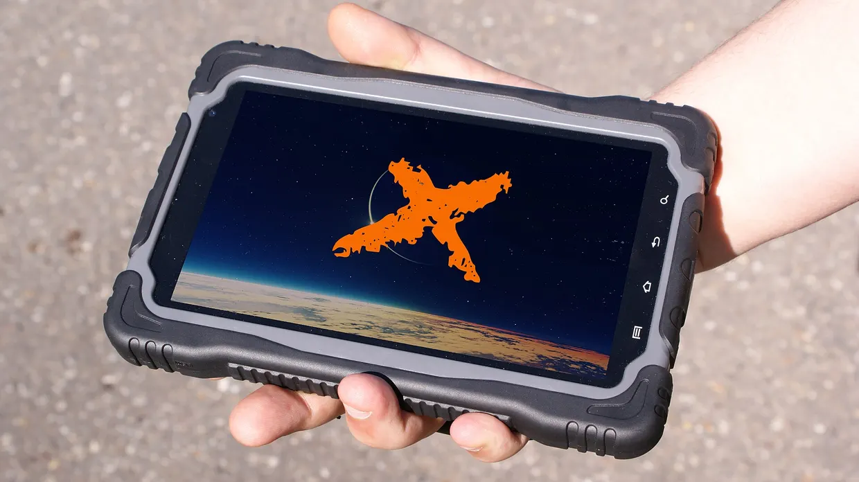
The Office of Naval Research Global TechSolutions program and the Naval Air Warfare Center Aircraft Division Lakehurst have released a mobile application called ESTIMATE-HC for field construction planning, according to EurekAlert eurekalert.org
EurekAlerteurekalert.orgOpen source ↗. The software was made available in the Apple App Store for iPhones and iPads, providing real-time calculations without requiring an active network connection.
The initiative addresses long-standing bottlenecks in horizontal construction, which covers the planning and maintenance of roads, airstrips, and base camps. Traditionally, project planners recorded measurements on site using physical clipboards, then returned to an office environment to process data manually in distinct spreadsheets. This multi-step process regularly consumed hours before producing verified resource estimates for moving soil or staging machinery.
Computational Formulas and Standardization
The software eliminates repetitive manual entry by consolidating standardized mathematical formulas into a single mobile interface. The embedded engineering data set matches the curriculum taught at Fort Leonard Wood, establishing unified calculation standards across diverse field teams. Because the tool relies exclusively on unclassified and public parameters, it functions as a standalone utility without requiring custom backend enterprise installations.
By processing variables locally on mobile hardware, teams calculate earthwork volumes and machine logistics directly at the job site eurekalert.org
EurekAlerteurekalert.orgOpen source ↗. This real-time processing removes the requirement to transit between construction zones and desktop terminals to verify layout plans.
Augmented Reality for Equipment Staging
In addition to volumetric math, the platform incorporates augmented reality tools through the device camera. Operators point mobile sensors at an open physical plot and project virtual equipment models directly over real terrain. This spatial visualization helps field managers assess spatial clearances and organize complex material staging in remote areas before any heavy machinery arrives on site.
Field testing remains underway to validate stability under rigorous job-site conditions. The development team designed the application specifically to operate autonomously in disconnected environments, ensuring that remote geographical locations do not limit access to technical design calculations.