White Sands footprints dated to 23,500–21,700 years ago as a lake gave way to a playa
Excavation at White Sands National Park found 20 footprint layers. Pine pollen dating tied them to a drought during the Last Glacial Maximum and to the shrinking of Lake Otero.
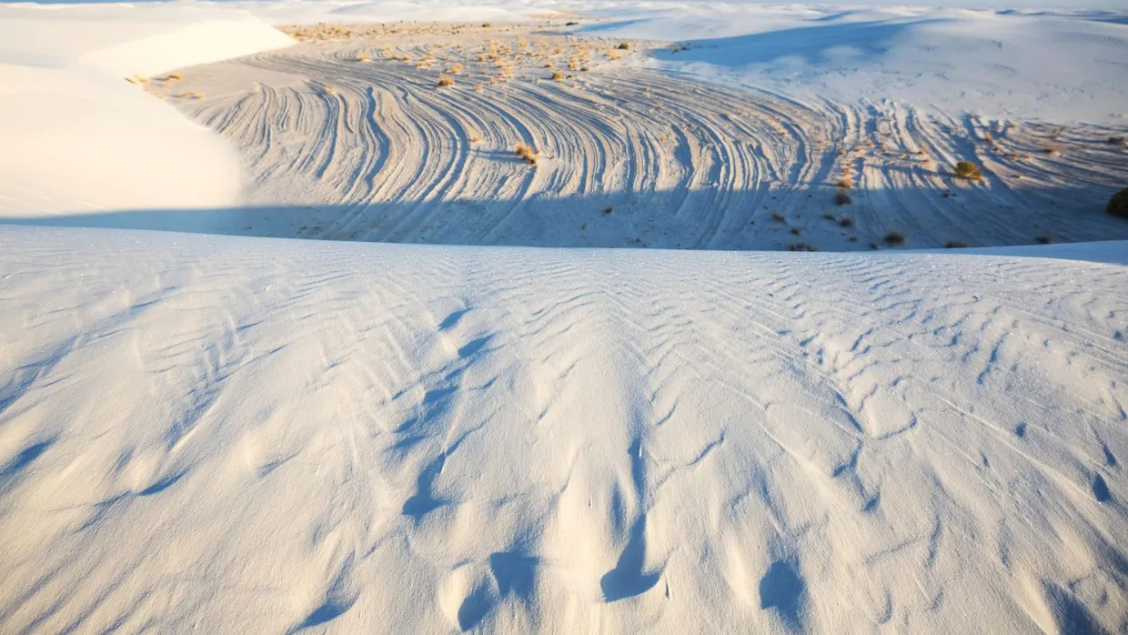
A team led by Kathleen Springer and Jeffrey Pigati of the U.S. Geological Survey extended a trench at White Sands National Park in New Mexico. In Science Advances they report 20 stratigraphic horizons with in situ human footprints, megafaunal trackways and linear marks left by travois science.org
Science Advancesscience.orgOpen source ↗. The trench dug in 2020 was 36 feet (11 meters) long; it is now 82 feet (25 meters), and the number of footprint layers rose from seven to 20. The refined chronology places the sequence between 23.5 and 21.7 thousand years ago.
Dating with conifer pollen
The first dates, published in 2021, came from seeds of an aquatic plant. Critics argued that such seeds could absorb old carbon from lake water and look older than they are. Pine pollen does not have this problem, because trees take carbon from the air. The USGS lab sorted up to 75,000 pollen grains from each sample with a cell-sorting machine and measured how much modern carbon the laboratory process introduced. The uncertainty of each pollen date fell fivefold. Pollen dates came out younger than seed dates from the same layers by up to 1,330 radiocarbon years.
From lake to playa
The oldest mud in the trench formed under standing water between about 24,200 and 23,600 years ago, when conifers made up 40% of the pollen. Microbial lipids in the mud indicate an air temperature of about 54°F (12°C), roughly 7°F (4°C) colder than the area today. After about 23,600 years ago the sediment changed to silt and sand washed in over land, and oak and sagebrush replaced the conifer forest. Warming sped up around 22,400 years ago, and the upper layers filled with gypsum and salt.
Biomarker, pollen and stratigraphic data show a large aridification at 23.2 thousand years ago, coincident with Dansgaard-Oeschger event 2. It shrank pluvial Lake Otero and let people cross the former shoreline for nearly two millennia science.org
Science Advancesscience.orgOpen source ↗. The oldest footprint layer dates to this drought. A wetter spell followed around 22,700 years ago.
Of 152 measured footprints, 72 were consistent with children about six years old, 12 with children about 12, eight with toddlers under four, and 60 with adolescents or adults. Mammoths, ground sloths, canids and possibly bears left tracks in the same layers. The team found no sign of a camp. The authors caution that footprint counts cannot be used for population estimates, and that ages derived from foot length are approximate. Why warming over Greenland coincided with drought in New Mexico is not yet established.